
If you’re looking for a nice hike near Cades Cove but want to avoid this crowds, this might be your best bet.
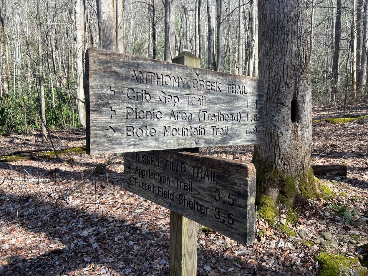
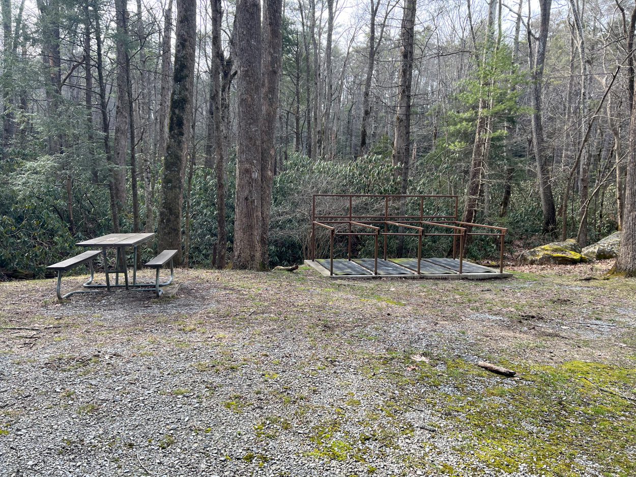
After we finished Abrams Fall we headed over to the campground/picnic area near the Anthony Creek Trailhead. We didn’t plan to do the full 11.7 miles out-n-back “Rocky Top via Anthony Creek” route because we didn’t want to be getting back to late so we decided to just hike out for a bit and turn around when we were ready.
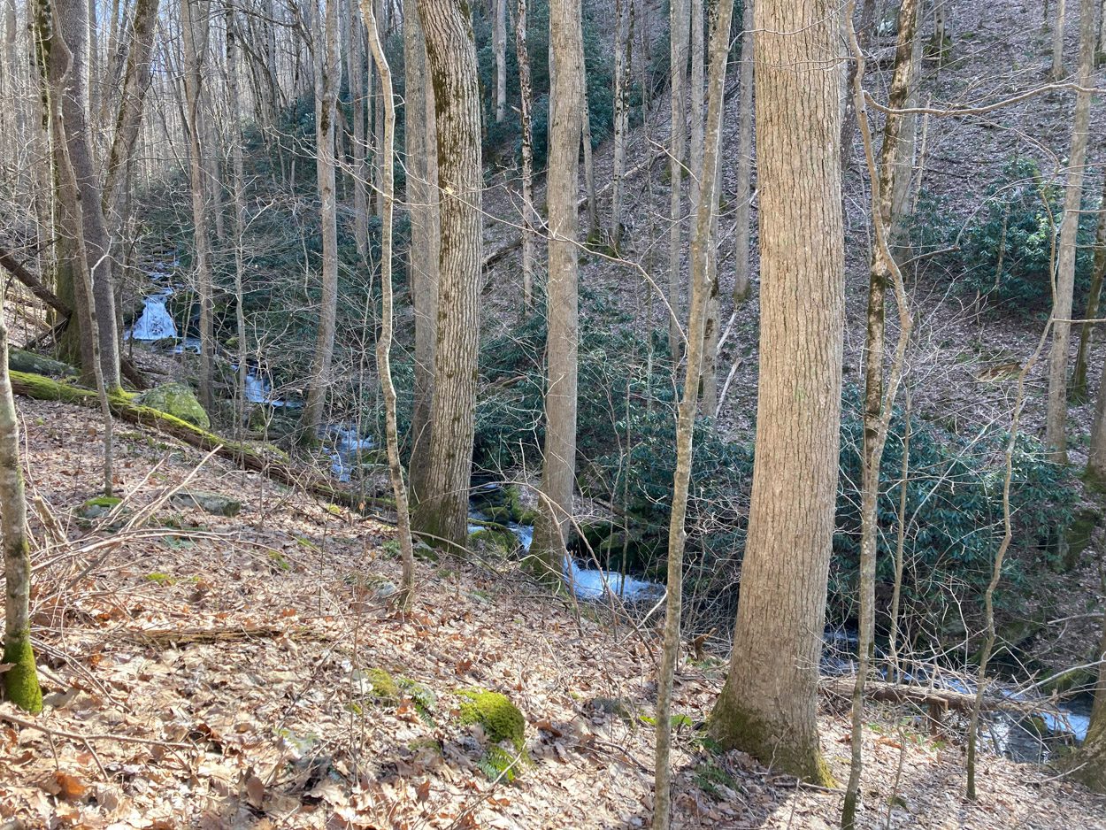
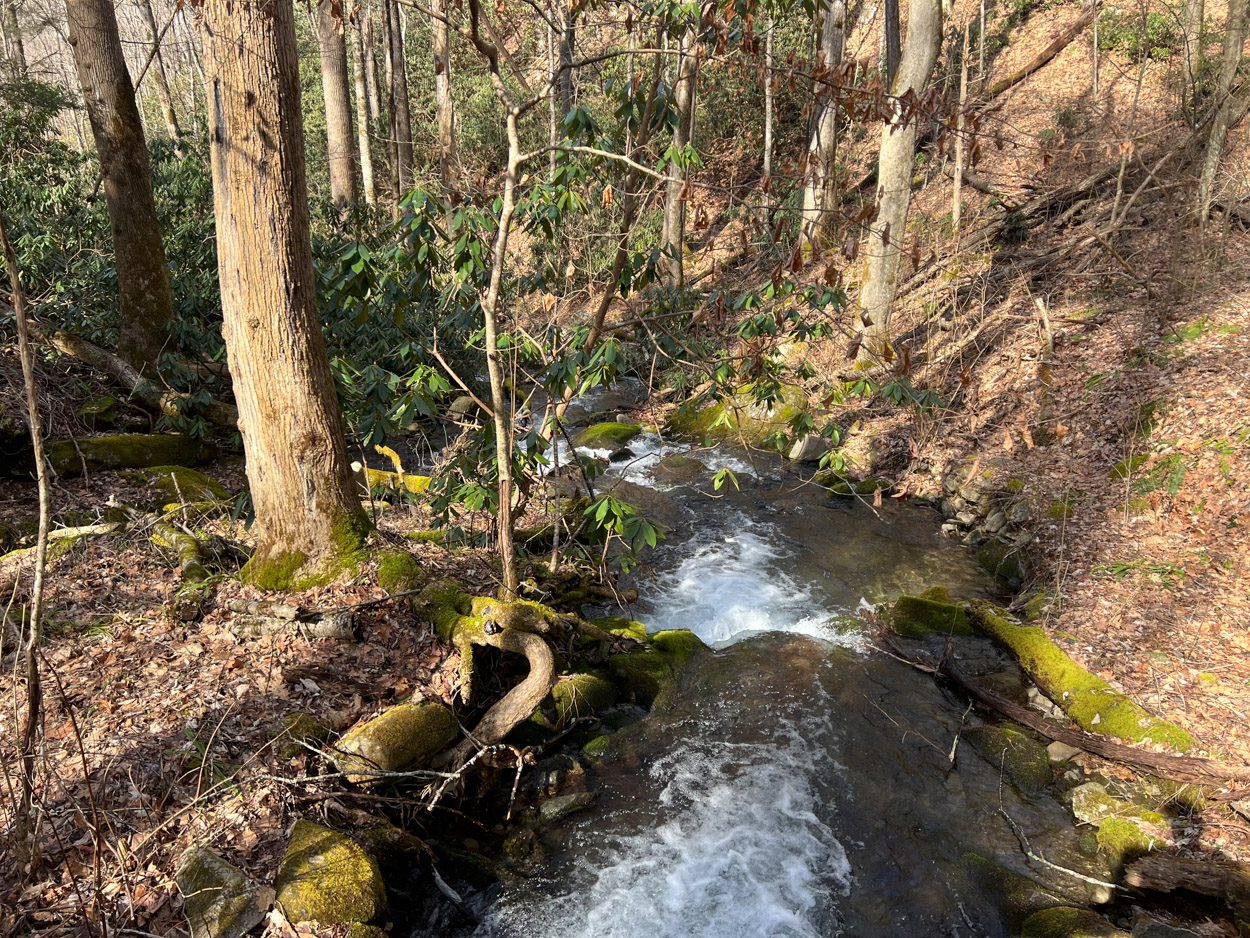
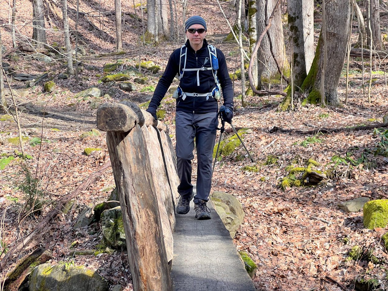
The trail runs parallel to Anthony Creek so it’s nice to hear the water most of the time. It crosses the creek a few times but there are bridges so no need for water shoes (at least as far as we got).
It is a very constant uphill hike the entire time. Without much variation in the grade it starts to feel steeper than it is.
| Hike Details |
|---|
| Trailhead (Out-n-Back) Anthony Creek Trailhead |
| All Trails Curated Map Recorded Route |
| Trail Length (Out-n-Back) 11.7 mi (Map) | 5.66 mi (GPS) |
| Elevation Gain 3671 ft (Map) | 1119 ft (GPS) |
| Start/Stop Time 12:30 PM – 3:30 PM |
| Total/Moving/Ave Pace 3:00/2:30/2.1mph |
| Crew Ben, Ryan |